Hiking Mt. Misen on Miyajima: Walk Up, Ropeway Down
日本語版はこちら → https://ao-happy.net/mount-misen-hike-miyajima-ja/
Most visitors to Miyajima see the torii gate in the sea, stroll the shopping street and take the ferry back. Behind Itsukushima Shrine, though, rises Mt. Misen, the island’s highest peak at 535 m. In September 2026, during a string of national holidays that Japan calls “Silver Week”, I climbed it on foot with an old friend from my student days and my sons. By the top my legs were exhausted, so we rode the ropeway down. Here is how the day went, and what I would tell you before you go.
Start at the torii, and check the tide first
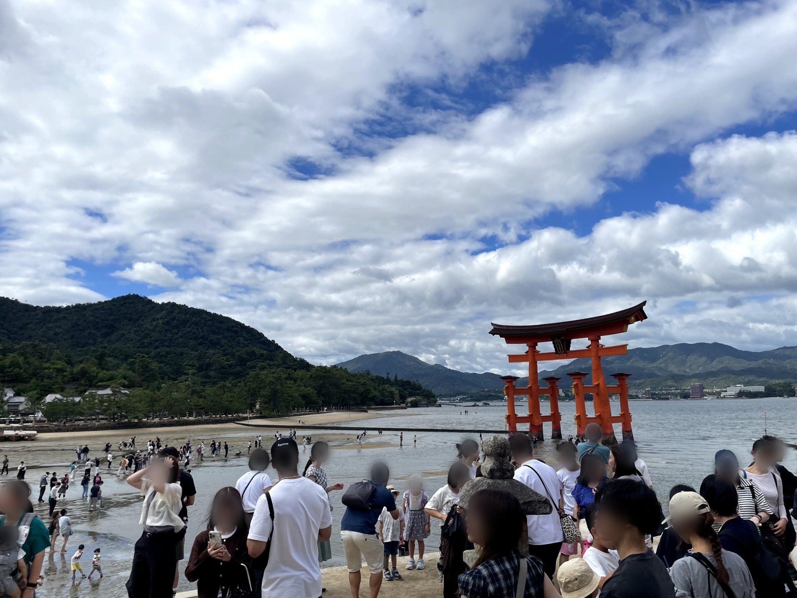
In the morning the tide was out, and we could walk across the sand right up to the Grand Torii (Otorii) of Itsukushima Shrine. By the time we came back down the mountain, the sea had come in and there was no way to reach it on foot. The torii standing in the water was still a dreamlike sight. Still, if walking out to the gate is on your list, do it before you climb.
According to the Miyajima Tourist Association, you can walk to the torii when the tide level is below about 100 cm, and the shrine appears to float when it is above about 250 cm. “Low tide” alone is not enough; the level is what counts. Their tide table lists the walkable hours for each day. (The data is for Hiroshima Port, and tides at Miyajima run slightly earlier.)
Getting to Miyajima from our inns
Miyajima is reached by ferry from Miyajimaguchi. JR Miyajima Ferry and Matsudai Kisen both run the crossing, which takes about 10 minutes. Since October 2023, a Miyajima visitor tax is added to the ferry ticket when you head to the island.
| From | Route | To Miyajima pier (approx.) |
|---|---|---|
| Ao’s Skyview Base (Koi) | 5 min walk to JR Nishi-Hiroshima → JR Sanyo Line, about 18 min to Miyajimaguchi → about 5 min walk to the pier → ferry, about 10 min | about 40–50 min |
| Ao’s Retreat Base (Ushita) | 6 min walk to Ushita-minami stop → bus No.5, 12 min to Hiroshima Stn → JR Sanyo Line, about 28–30 min to Miyajimaguchi → about 5 min walk → ferry, about 10 min | about 70–80 min |
These are estimates and do not include waiting for connections. For an early start on Miyajima, Skyview Base on the west side of the city is the closer of our two inns.
Climbing Mt. Misen on foot
There are three main trails up Misen: the Momijidani, Daishoin and Omoto courses. Hiroshima Prefecture’s hiking safety guide gives about 1.5 hours, 1.5 to 2 hours, and about 2 hours to the top, respectively.
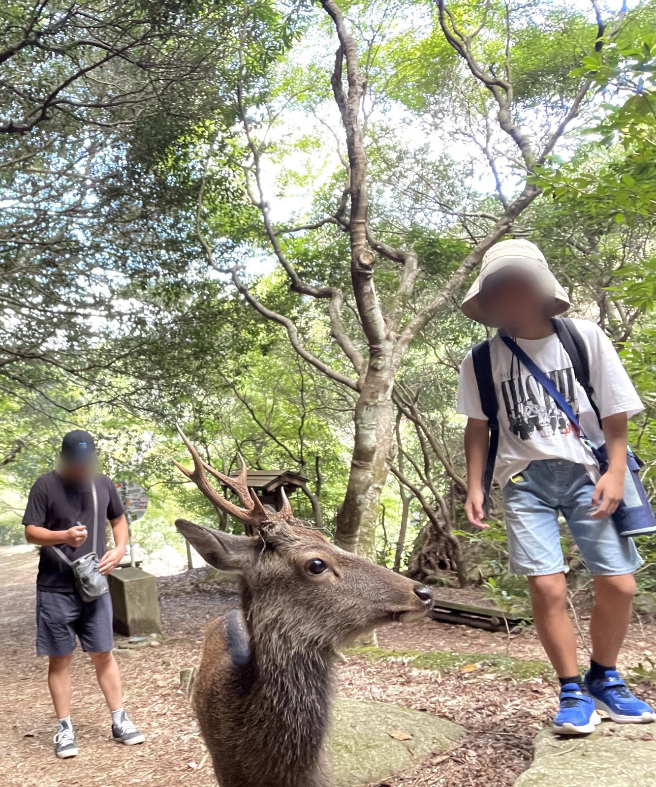
For the first stretch, you will still meet the island’s deer. As you climb higher, they disappear. A word of warning: if you carry food, the deer will take it, so keep snacks zipped inside your bag. The Miyajima Tourist Association also asks visitors not to feed them.
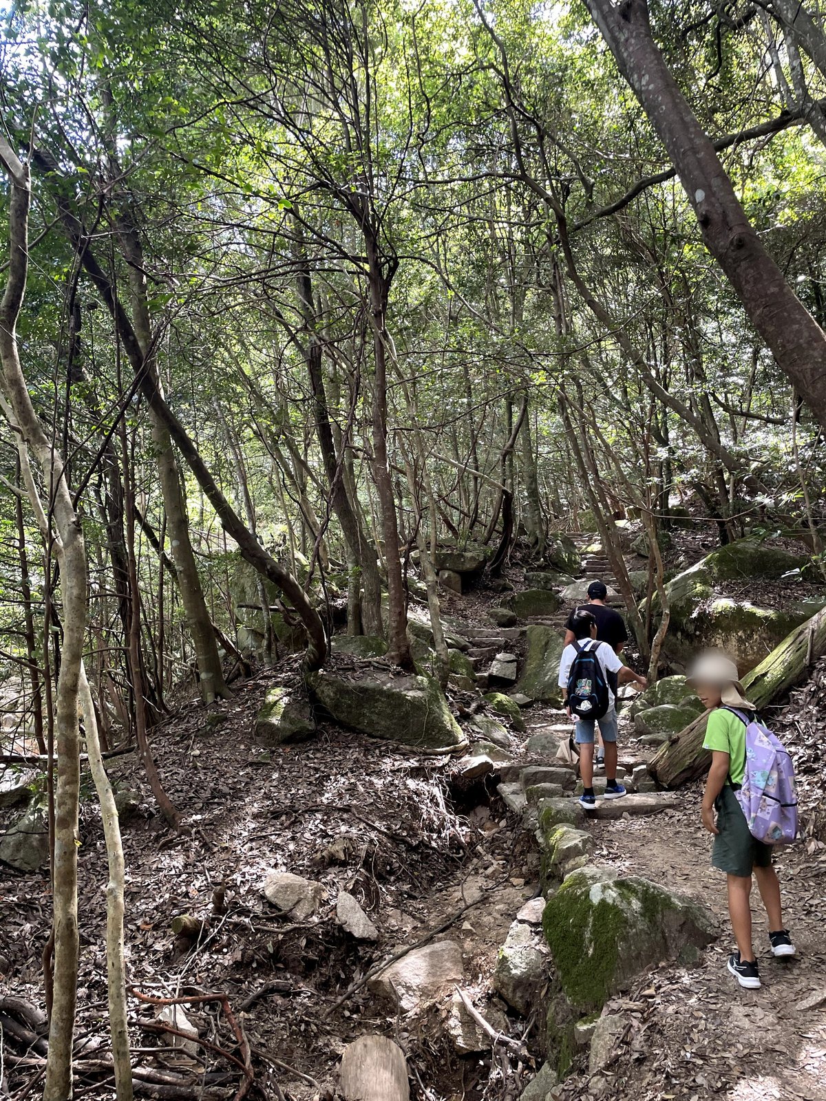
The trail has stone steps, but much of it is rough, rocky and steep. Plan for a proper hike, not a stroll.
Before you go
There are steps, but it’s a proper mountain trail. Good shoes and water are a must.
- Wear sneakers or hiking shoes. The prefecture’s guide notes that many accidents involve sandals.
- Bring water, a charged phone, some food and rain gear.
- The trails have no lighting, so plan to be back down before sunset.
- If the weather turns or you feel unwell, turn back.
Giant boulders near the top
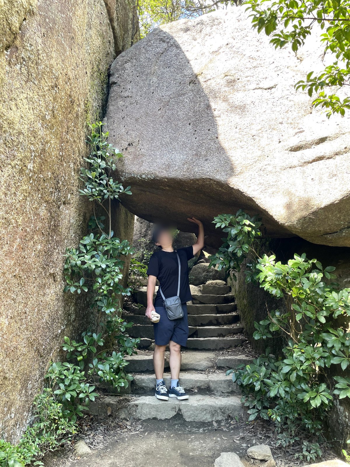
Close to the summit, the forest gives way to big granite boulders. In one spot, the stone steps run right under an overhanging rock. It was my favorite photo spot of the whole climb.
The view from the summit
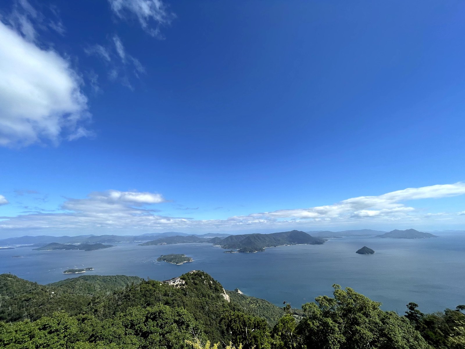
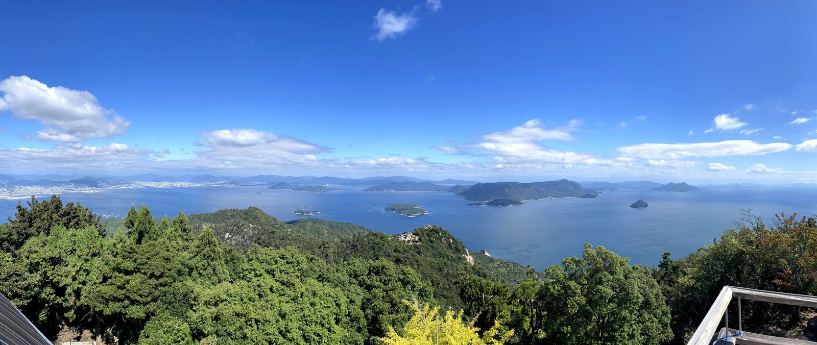
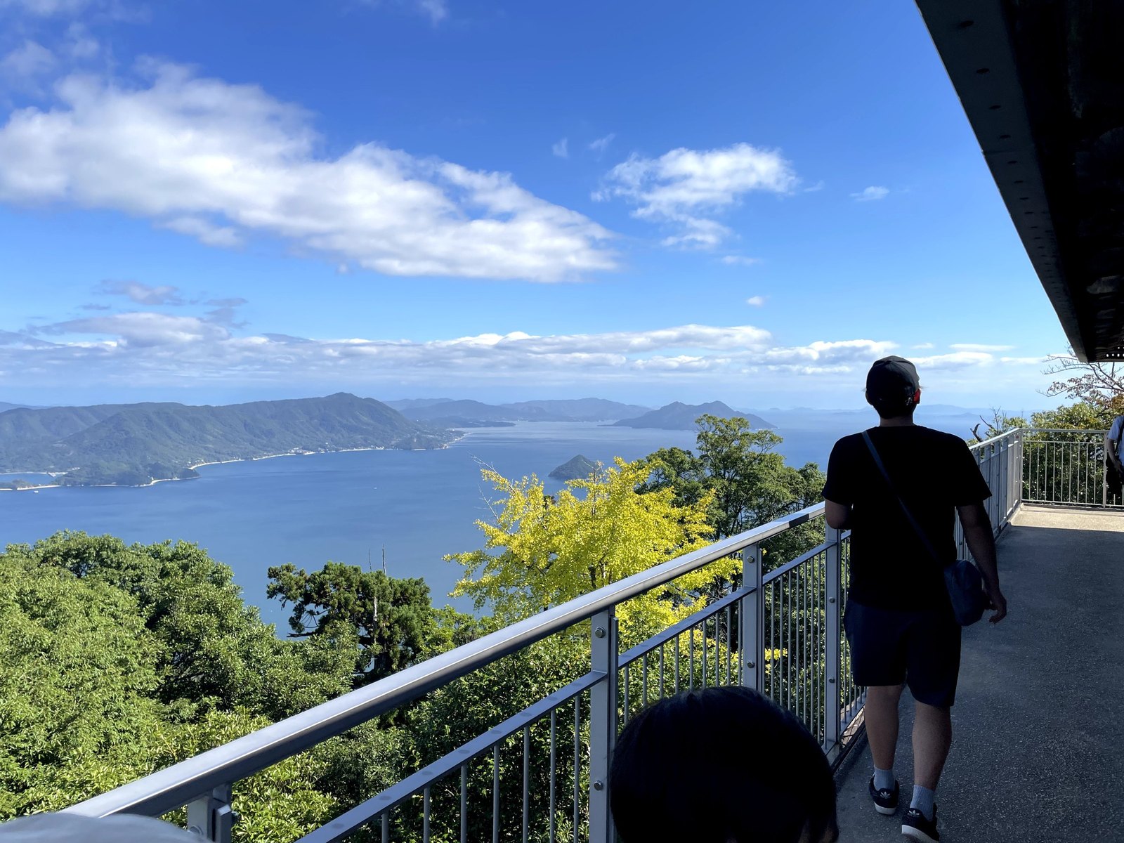
The summit observation deck, completed in 2013, gives a 360-degree view. On a clear day the islands of the Seto Inland Sea spread out below you. When the weather is good, the view is beautiful.
We were worn out, but the moment we saw the islands from the top, the tiredness was gone.
Riding the ropeway down
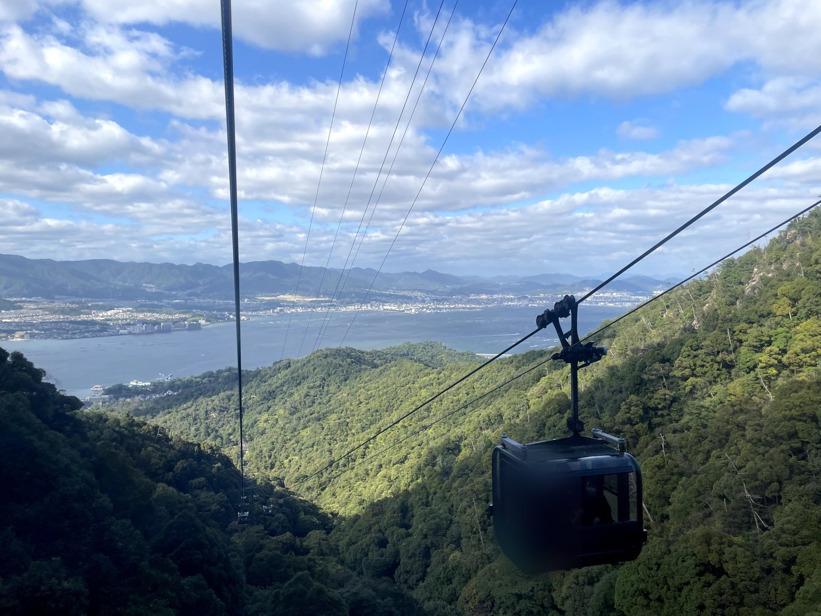
My legs were done, so we took the Miyajima Ropeway down. It runs in two sections: the Shishiiwa Line (35-person cabins, about 4 minutes) and the Momijidani Line (8-person gondolas, about 10 minutes), with a transfer at Kayatani Station. We rode two ropeways, and the view on the way down was lovely too.
Note that the top station, Shishiiwa, is not at the summit: it is about a 30-minute walk on a mountain path from there to the top. So even if you take the ropeway up, be ready to walk uphill for a while to reach the summit.
According to the official site, the ropeway runs uphill from 9:00 to 16:00 and downhill from 9:20 to 16:30 (as of November 2026). There are inspection closures, and some busy autumn days need an advance booking, so check the site before you go. Momijidani Station, at the bottom, is about 25–30 minutes’ walk from the ferry pier, and a free shuttle runs from the Momijidani Park entrance stop.
Momijidani Park is also one of the island’s classic autumn-leaf spots. See my guide: Autumn Leaves in Hiroshima: Where and When to See Momiji.
Back at the shore: the torii in the sea, and momiji manju
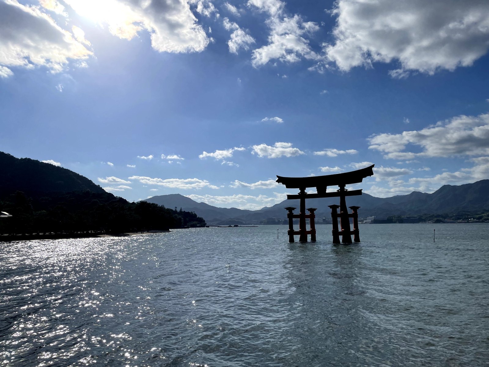
Back at the shore, the sand we had walked on that morning was under water. In one day, I saw the torii at low tide, when I could walk right up to it on the sand, and at high tide, standing in the sea. Seeing both is one of the small pleasures of a Misen hike.
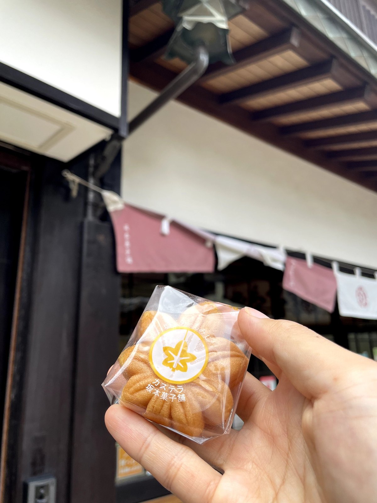
Our reward for the climb was something sweet: momiji manju, the maple-leaf-shaped cake Miyajima is famous for. I picked the salt-butter one from Sakamoto Kashiho, a confectioner on the island. If you have never tried momiji manju, I suggest starting with the classic koshian (smooth red bean). For more, see my post on Nishikido Main Store near Hiroshima Station.
Quick tips
- If you want to walk to the torii, check the tide table and go before your hike.
- Allow about 1.5–2 hours to climb on foot, plus time at the summit.
- Tired? Ride the ropeway down, but check the time of the last ropeway ride down and remember the 30-minute walk between the summit and Shishiiwa Station.
- Good shoes and water are a must.
If you are planning a Miyajima day while staying with us, ask us about timing. We are happy to help.